
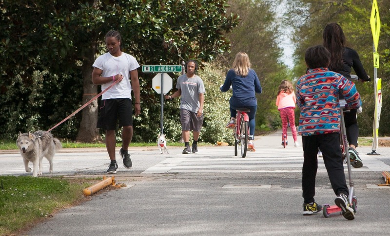
PAL creates opportunities for active living and healthy eating for everyone, centered around Spartanburg County.

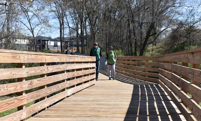
The Dan Trail
Segments
The Dan Trail segments
Beaumont Mill Village Pathway
Built by PAL, this trail connects to the Drayton Mills Marketplace and to Spartanburg’s downtown. The Pathway climbs from Lawson’s Fork Creek and the Drayton Mills Trails, making a few switchbacks up to Adams Park. From there, it will use the streets and sidewalks past the homes of the historic Beaumont Mill Village on its way to Pine Street and up Daniel Morgan Avenue into the downtown area.

Butterfly Branch Greenway
Owned by the City of Spartanburg, the Butterfly Branch Greenway is a visible sign of the Northside redevelopment project and connects to a Butterfly Creek that cultivates a fun, positive space for individuals of all ages to enjoy.

Cottonwood Trail
Owned by Spartanburg Area Conservancy (SPACE), the Cottonwood Trail is a part of the Edwin M. Griffin Nature Preserve, a 116-acre urban preserve and trail system.
Upper Drayton Mills Trail
Owned by Pacolet Milliken and maintained by Spartanburg County Parks, the Upper Drayton Mills Trail connects into Drayton Mills Marketplace. Read more about the trail here.

Lower Drayton Mills Trail
Built by PAL and owned by Pacolet Milliken and maintained by Spartanburg County Parks, the Lower Drayton Mills Trail connects into Drayton Mills Marketplace. Read more about the trail here.
This trail is currently closed for construction; check back here for updates.

Duncan Park
Owned by the City of Spartanburg, the Duncan Park off-road biking trails wind and weave through the woods of Duncan Park.

Hub City Hopper
The first of its kind in South Carolina! A portion of the Hub City Hopper is a traditional asphalt trail for all users, and the portion on Converse Street splits users with cyclists in the curb-protected asphalt lane and pedestrians on an extra-wide concrete sidewalk.
Mary Black Foundation Rail Trail
Owned by the City of Spartanburg as a critical segment of both The Dan and The Palmetto Trail, the Mary Black Foundation Rail Trail includes Rail Tail Dog Park, Hot Spot Skate Park, and The Rail Yard Community Park.
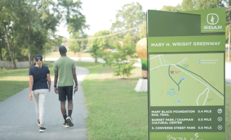
Mary H. Wright Greenway
Owned by the City of Spartanburg, the Mary H. Wright Greenway includes a basketball court, two playgrounds, and a picnic shelter.

River Birch Trail
Built by PAL and owned by the City of Spartanburg, the River Birch Trail is paved and is a great place for families with strollers, bikes or wheelchairs. It has recently been expanded from East Main Street along the Lawson's Fork Creek to the Drayton Mills Trails by way of Heywood and Beverly Roads.

Three Creeks Trail
Built by PAL and owned by Spartanburg County and the City of Spartanburg, Three Creeks Trail consists of on and off-road segments and is where the Holston Creek, Fairforest Creek, and Three Mile Creek merge at Vanderbilt Road.

Wadsworth Trail
Owned by Spartanburg County Parks, Wadsworth Trail connects eight neighborhoods and the Westside of Spartanburg.

Wildflower Way
Wildflower Way is a paved, ADA accessible path within the Edward Griffin Preserve, owned by Spartanburg Area Conservancy. With limited access to this natural area for people with mobility limitations and strollers, this segment will open nature to our Spartanburg community.
The trail is being constructed in three phases. Phase 1A is complete.
Upcoming Events
1/3
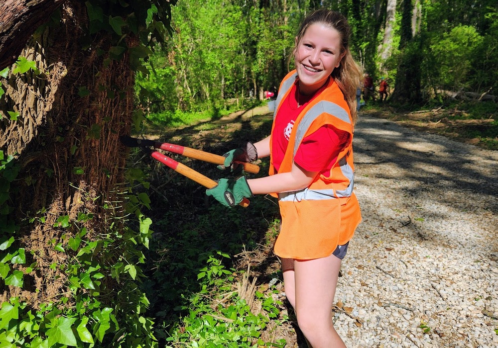
Trail Stewardship | September 2025
September 13, 2025 | 9:00 AM - 11:00 AM
Help PAL restore and maintain the beauty of our parks and trails by signing up for the September 2025 Trail Stewardship event! Taking care of our trails is a crucial element of any trails system, and except for the big stuff like repaving, much of that work can be done by volunteers.
2/3
Wildflower Way Ribbon Cutting
September 18, 2025 | 5:00 PM - 6:30 PM
Join us for the ribbon cutting as we walk the trail, honor this milestone, and look ahead to what’s next!
3/3
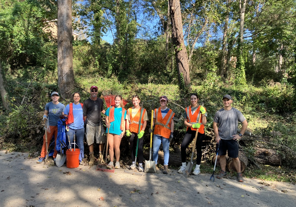
Trail Stewardship | November 2025
November 8, 2025 | 9:00 AM - 11:00 AM
Help PAL restore and maintain the beauty of our parks and trails by signing up for the November 2025 Trail Stewardship event! Taking care of our trails is a crucial element of any trails system, and except for the big stuff like repaving, much of that work can be done by volunteers.
living healthy in spartanburg
© 2025 PAL. All Rights Reserved|
Site by ALINE, A Marketing Company
'%3e%3cg id='Final-Copy-2_2_' transform='translate(1275.000000, 200.000000)'%3e%3cpath class='st0' d='M7.4,12.8h6.8l3.1-11.6H7.4C4.2,1.2,1.6,3.8,1.6,7S4.2,12.8,7.4,12.8z'/%3e%3c/g%3e%3c/g%3e%3c/g%3e%3cg id='final---dec.11-2020'%3e%3cg id='_x30_208-our-toggle' transform='translate(-1275.000000, -200.000000)'%3e%3cg id='Final-Copy-2' transform='translate(1275.000000, 200.000000)'%3e%3cpath class='st1' d='M22.6,0H7.4c-3.9,0-7,3.1-7,7s3.1,7,7,7h15.2c3.9,0,7-3.1,7-7S26.4,0,22.6,0z M1.6,7c0-3.2,2.6-5.8,5.8-5.8 h9.9l-3.1,11.6H7.4C4.2,12.8,1.6,10.2,1.6,7z'/%3e%3cpath id='x' class='st2' d='M24.6,4c0.2,0.2,0.2,0.6,0,0.8l0,0L22.5,7l2.2,2.2c0.2,0.2,0.2,0.6,0,0.8c-0.2,0.2-0.6,0.2-0.8,0 l0,0l-2.2-2.2L19.5,10c-0.2,0.2-0.6,0.2-0.8,0c-0.2-0.2-0.2-0.6,0-0.8l0,0L20.8,7l-2.2-2.2c-0.2-0.2-0.2-0.6,0-0.8 c0.2-0.2,0.6-0.2,0.8,0l0,0l2.2,2.2L23.8,4C24,3.8,24.4,3.8,24.6,4z'/%3e%3cpath id='y' class='st3' d='M12.7,4.1c0.2,0.2,0.3,0.6,0.1,0.8l0,0L8.6,9.8C8.5,9.9,8.4,10,8.3,10c-0.2,0.1-0.5,0.1-0.7-0.1l0,0 L5.4,7.7c-0.2-0.2-0.2-0.6,0-0.8c0.2-0.2,0.6-0.2,0.8,0l0,0L8,8.6l3.8-4.5C12,3.9,12.4,3.9,12.7,4.1z'/%3e%3c/g%3e%3c/g%3e%3c/g%3e%3c/g%3e%3c/svg%3e) Your Privacy Choices | Notice at Collection | Privacy Policy | Cookie Policy
Your Privacy Choices | Notice at Collection | Privacy Policy | Cookie Policy